I don’t know if anyone has ever topped the Tusk.
– A Big Bend National Park Wilderness Ranger, 2004 |
Elephant Tusk – 5,249 feet
Located in Big Bend National Park, Texas, this splendid peak codifies the essence of the Chihuahuan Desert. |
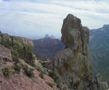 |
Elephant Tusk framed by a pinnacle at the end of the Lost Mine Trail in Big Bend’s Chisos Mountains |
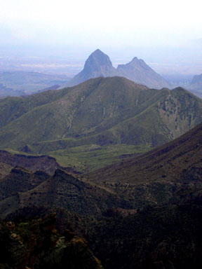 |
Seen from the south rim of the Chisos Mountains, Elephant Tusk floats like a siren in a deserted desert sea |
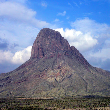 |
While approaching the Tusk, it’s true stature becomes apparent, as
the monolith soars 2,200 feet above the desert floor
The standard route goes to the prominent notch on the right skyline via a narrowing gully,
then ascends the upper northeast ridge above the notch |
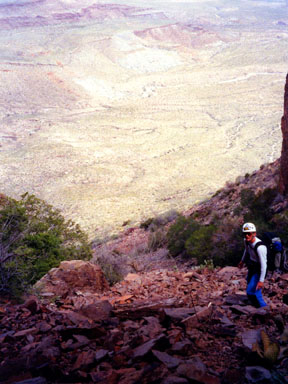 |
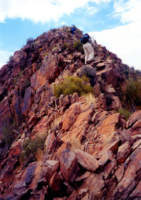
Charlie Winger near the top of the long approach slope up into the narrowing gully |
 |
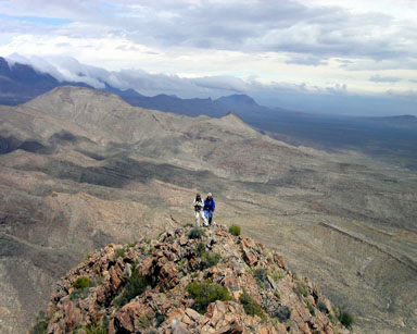
Charlie Winger and Gerry Roach on the upper northeast ridge above the difficulties |
 |
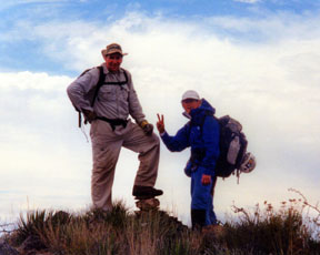
Jennifer Roach and Charlie Winger pause on the upper northeast ridge, while clouds roll over the south rim |
 |
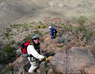
Flanked by the Wingman, Big Guy Gerry Roach tops the Tusk |
 |
Jennifer Roach and Charlie Winger descending the upper northeast ridge |
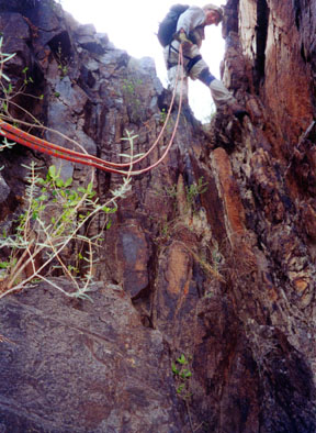 |
Gerry Roach Rapelling down the Class 4 pitch at the top of the narrowing gully |
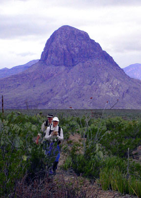 |
Tired but happy, Jennifer and Charlie return to the trailhead |
| Gerry and Jennifer took the above photos on 3/20 and 3/21/04. |
USGS 7.5’ Quadrangles: Emory Peak, Glenn Spring
Northeast Ridge
– 10.4 miles RT, 2,719 feet net, 3,000 feet total, Class 4 |
| This is the standard route on Elephant Tusk.
Start at the Elephant Tusk Trailhead,
and be aware that reaching this trailhead requires a 4WD vehicle. |
| Hike generally northwest on the Elephant Tusk Trail for 4.0 miles to a point east of the peak.
The trail is marked with metal posts and cairns, however this wilderness trail can still be difficult
to follow on occasion. When you are east of the peak, leave the relative comfort of the trail, hike west
and cross the gully between the trail and the peak. This cliffed gully is easier to cross to the south,
so don't hike too far along the trail before launching. |
| Once past this unexpected barrier, climb 0.8 mile west gaining 1,200 feet up a tedious slope of loose rocks.
Aim for the narrowing, east-facing gully that leads to a prominent notch on the northeast ridge.
Continue up the steep, loose-rock chute between embracing cliffs as the gully steepens and narrows
toward the now imposing-looking finish to the notch. The last 100 feet to the notch are quite steep,
and the last 40 feet require Class 4 climbing. Some parties will want to use a rope here,
and it is best to prepare your equipment before you reach the steep terrain.
Take heart knowing that the climb into the notch is the route’s crux. |
| Once in the notch at 4,860 feet, turn left and scamper 300 yards southwest on or near the ridge to the summit.
If you take care to find the easiest route, the difficulty of the upper northeast ridge will not exceed Class 2+.
The higher you climb, the easier the ridge becomes until you are hiking gleefully near the summit.
Topping the Tusk can easily be a joyous occasion. |


