The wild blue yonder is about to get wilder.
– Iron Eagle II tagline |
Spread Eagle Peak – 13,423 feet
This Sangre Thirteener gets its name from a sweeping, shallow basin that cradles the summit.
You can easily see the peak and basin from Westcliffe to the east. |
 |
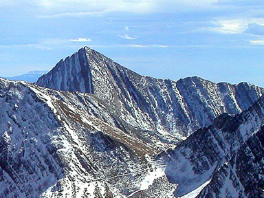
Spread Eagle seen from the northwest |
 |
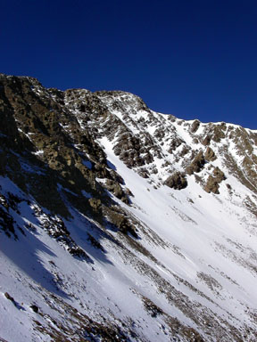
Spread Eagle’s sweeping namesake basin |
 |
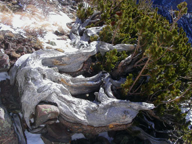
At treeline on Spread Eagle |
 |
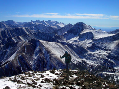
Jennifer Roach arrives at Spread Eagle’s summit while the Sangres watch |
| Gerry took the above photos in October 2004 |
USGS 7.5’ Quadrangles: Electric Peak, Rito Alto Peak, Horn Peak
South Face – 9.0 miles RT, 3,753 feet net, 4,393 feet total, Class 2 |
| Start at the Hermit-Rainbow North Trailhead
at 9,670 feet, hike 200 yards northeast up the Rainbow Trail to a highpoint at 9,740 feet,
then descend 0.6 mile generally north, cross North Taylor Creek on a good bridge at 9,420 feet,
and climb 100 yards north to reach the North Taylor Road. This 0.8 mile hiking approach on the
Rainbow Trail avoids the rough lower portion of the North Taylor Road. |
| Hike 0.8 mile southwest to the end of the North Taylor Road at 9,800 feet.
Continue 1.8 miles southwest up the North Taylor Trail (FT 1348) to 11,200 feet.
Leave the trail and climb 1.1 miles steeply north-northwest, utilizing a small ridge en route,
to reach the summit. The last 200 yards are along a well-defined, rocky ridge. |


