A good scare is more important to a man than good advice.
– Ed Howe |
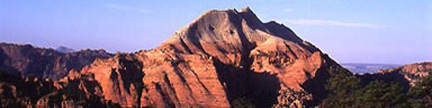
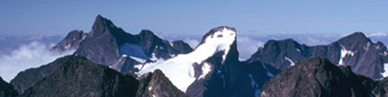
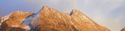
“Peak L” – 13,213 feet
This leggy peak looks after the central Slate Creek drainage in the heart of the Gore Range. Arduous to approach and providing a sporty ascent,
this seldom seen peak calls to those who ogle obscure opportunities. |
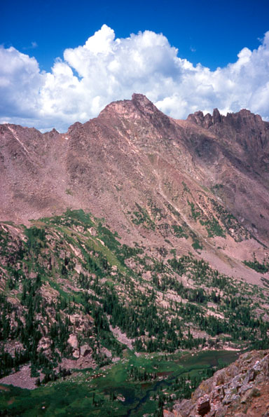 |
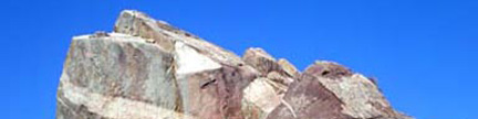
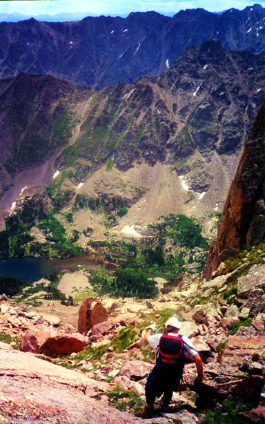
“Peak L” soaring above the Slate Creek drainage as seen from “Peak S” to the south
You can see the route to the shoulder left of the summit on the left side of the photo
“Gore Thumb” is the pinnacle on the right skyline
Gerry took this photo on 7/21/02 |
 |
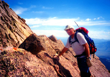
Approaching the flat portion of the summit ridge |
 |
Gerry on the flat portion of the summit ridge |
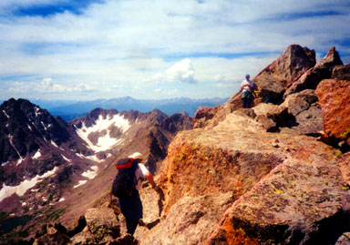 |
Gerry and Jack Dais approaching the summit of “Peak L”
The highpoint is the larger angular block |
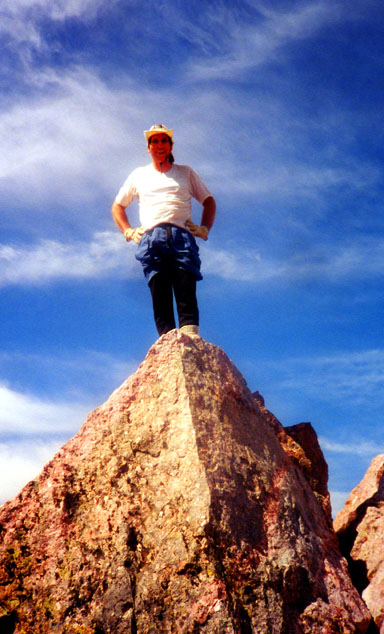 |
Gerry on top of “Peak L” |
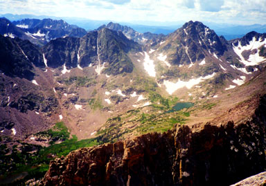 |
Looking southwest from the summit of “Peak L”
The flat portion of the summit ridge is in the bottom of the photo
Across the upper Slate Drainage, you can see (R to L) Peaks “P,” “Q” and “R” |
 |
Gerry starting down the Direct South Face Variation while Upper Slate Lake waits below |
 |
Jack Dais and Gerry examining the Direct South Face Variation after the descent |
| Except for the first photo, Jennifer took these photos on 8/16/98. |
USGS 7.5’ Quadrangles: Vail East, Willow Lakes
Southwest Face –
20.0 miles RT, 3,753 feet net, 5,000 feet total, Class 3 |
| Private Property blocks direct access to the upper Slate Creek Drainage.
There is no public access up either lower Slate Creek or Boulder Creek,
thus the approach to “Peak L” requires a lengthy hike on the Gore Range Trail. |
| Start at the North Rock Creek Trailhead
at 9,460 feet, and hike southwest up the North Rock Creek Trail. Enter the Eagles Nest Wilderness shortly after
leaving the trailhead, and reach the Gore Range Trail after 0.4 mile. Turn north (right) onto the Gore Range Trail
and consider your future. Hike 2.0 miles north on the Gore Range Trail, cross Boulder Creek, hike another 3.0 miles north
to Slate Creek, turn west (left) onto the Slate Creek Trail and hike 3.1 miles west to Upper Slate Lake at 10,860 feet.
Your 8.5 mile trail approach is over, and you can see “Peak L” 1.0 mile west of the lake.
There are some nice campsites near the lake’s east end. |
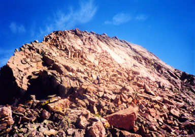
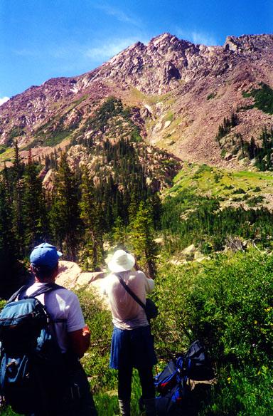
| For the climb, hike 0.5 mile along the lake’s southeast side, and hike another 0.2 mile southwest up the valley.
Leave the valley and climb 0.5 mile northwest up broken boulder slopes (see photo) to reach the summit ridge in a small saddle at 12,660 feet.
Climb 300 yards northeast on the south side of the ridge to reach the level stretch of ridge that forms the base of the namesake,
but backwards L. From here you can see the summit ramparts rising beyond.Traverse across the level ridge which narrows to an
exposed crest (Class 3) to reach the base of the summit tower, then scamper north up the summit rocks to the highest point. |
Variation – Direct South Face, Class 3 |
| Climb the gully system that leads directly to the notch between the level part of the ridge and the summit tower.
This alternative is shorter, steeper and harder. It is also prone to rockfall.
In compensation, it does provide some spicy sections of Class 3 scrambling on solid rock. |