I don’t think of the past. The only thing that matters is the everlasting present.
– W. Somerset Maugham |
Retirement Range Trailheads |
We present the trailhead descriptions alphabetically by name. |
- USGS 7.5´ Quadrangles: McCurdy Mountain, Cheesman Lake
- Latitude and Longitude: 39° 10.35´ N; 105° 22.57´ W
- Altitude: 8,220 feet
This trailhead provides access to the lower reaches of Goose Creek in the southeast portion
of the Lost Creek Wilderness. Measure from the stoplight intersection of U.S. 285 and
Jefferson County 126 in Pine Junction. Go south on the paved Jefferson County 126 and pass the
following landmarks: Pine at mile 6.4, Buffalo Creek at mile 9.4, the Pine Creek Forest Service
Center at mile 9.9, The Colorado Trail crossing at mile 13.0, the Wellinton Lake Road at mile 13.8,
the Kelsey Campground at mile 17.2, the Cheesman Canyon Trailhead at mile 22.2, and the intersection
of FR 211 at mile 22.5. This intersection can be hard to see, and is only marked by an old sign on
the rocks north of the highway. Turn south onto FR 211, and measure anew from this point.
Go generally southwest on FR 211, turn west (right) at mile 2.1, bear left at mile 3.2,
turn right at mile 8.6, cross Goose Creek at mile 11.6, and turn west (right) onto FR 558
at mile 13.4. Pass a corral at mile 14.2, pass the start of the Goose Creek Trail at mile 14.5,
and reach a large parking area at the end of the road at mile 14.6. This is the Goose Creek Trailhead.
|
- USGS 7.5´ Quadrangle: Farnum Peak
- Latitude and Longitude: 39° 14.86´ N; 105° 34.95´ W
- Altitude: 9,600 feet
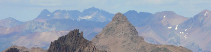
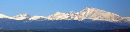
This trailhead provides access to the west side of “Tater Top.”
From Jefferson on U.S. 285, turn onto Park County 77 (Tarryall Road)
and measure from this point. Go southeast on Park County 77, go straight at
5.9 miles, go straight at 7.9 miles, go straight at 8.4 miles, reach the Tarryall
Reservoir (dry) and turn north (left) onto FR 142 at mile 16.3. Do not
confuse FR 142 with FR 143, which goes north from Park County 77 at mile 16.1.
You want FR 142. From Park County 77, go north on FR 142 (unsigned at this
point) and turn hard east (right) after 100 yards just before an old red handled
water pump. Go east then north up a hill to a gate at mile 16.4, pass through
the gate, go north to a second gate at mile 16.7 and pass through this gate
as well. The passage between the gates is a public access through private
property, so take care to close the gates behind you and stay on the road.
From the second gate, continue north on FR 142 (now signed) and bear northeast
(right) onto FR 142A (signed) at mile 17.4. Go northeast on FR 142A into Potato
Gulch, bear right at mile 17.7, bear left at mile 18.0, bear right at mile
18.3 and reach the end of the road and the unmarked trailhead at mile 18.5.
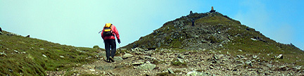
From the trailhead, you can see the distinctive summit rock of “Tater Top”
to the east.
|
This trailhead is at 9,420 feet and provides access to the north side of
Pulver Mountain and the east side of “The Pulverizer.” If you are traveling
from the east on US 24, turn south (left) onto Park County 90 at mile 255.5.
This turn is 0.5 mile west of milepost 256, and 3.8 miles west of the Round
Mountain Campground. If you are traveling west on US 24, turn south (right)
onto Park County 90, 1.4 miles east of Wilkerson Pass. Measure from the junction
of US 24 and Park County 90, which is a wide, graded, gravel road. Go southeast
on Park County 90, and turn southwest (right) onto a dirt road at mile 0.2.
This dirt road is not Pulver Road. Go southwest on the dirt road, bear left
at a V-junction on FR 706 at mile 0.3, bear left at another V-junction on
FR 706 at mile 0.4 and continue on FR 706 to reach the trailhead at mile 1.4.
The trailhead is at the end of FR 706, in a small, open saddle.
|
|
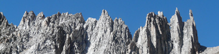
This trailhead is at 8,320 feet and provides access to Tappan Mountain’s south side.
If you are approaching from the south, measure from the junction of U.S. 24 and Park County 77
(Tarryall Road), and go 4.9 miles north on Park County 77 to the Platte Springs Road (FR 210).
If you are approaching from the north, go to Jefferson on U.S. 285, turn east onto Park County 77
(Tarryall Road) and go 35.6 miles southeast on Park County 77 to the Platte Springs Road (FR 210).
From here, you can see Tappan Mountain to the north. Turn north onto the Platte Springs Road,
go 0.2 mile north to the Pike National Forest boundary and park just inside the forest
near the information sign. This is the trailhead. |