Hurry up and relax. – Yoga humor |
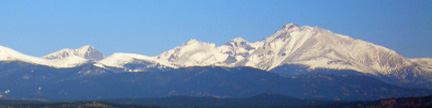
Sugarloaf Mountain – 9,951 feet |
This sweet loaf rests 1.0 mile northeast of the Tarryall Reservoir Dam.
It provides a short hike to an open rocky summit, which yields good views
of the area around Tarryall Reservoir. |
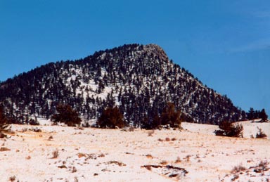 |
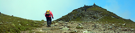
Mighty Sugarloaf as seen from the west
George Kasynski took this photo on 3/03/02 |
USGS 7.5’ Quadrangle: Farnum Peak
North Slopes
– 1.6 miles RT, 751 feet net, 991 feet total, Class 2 |
This short romp rewards you with a rocky summit ride.
Go toward the Potato Gulch Trailhead,
and park at the junction of FS 142 and FS 142A at 9,200 feet. Drop down to the south,
cross Potato Gulch, and bushwhack south-southeast up the narrowing slope to a false summit.
Continue south among sharp boulders to the highest point, which is the farthest rock outcrop
to the south before the peak plunges south. |